Pedestrian Activity & San Francisco's Hills
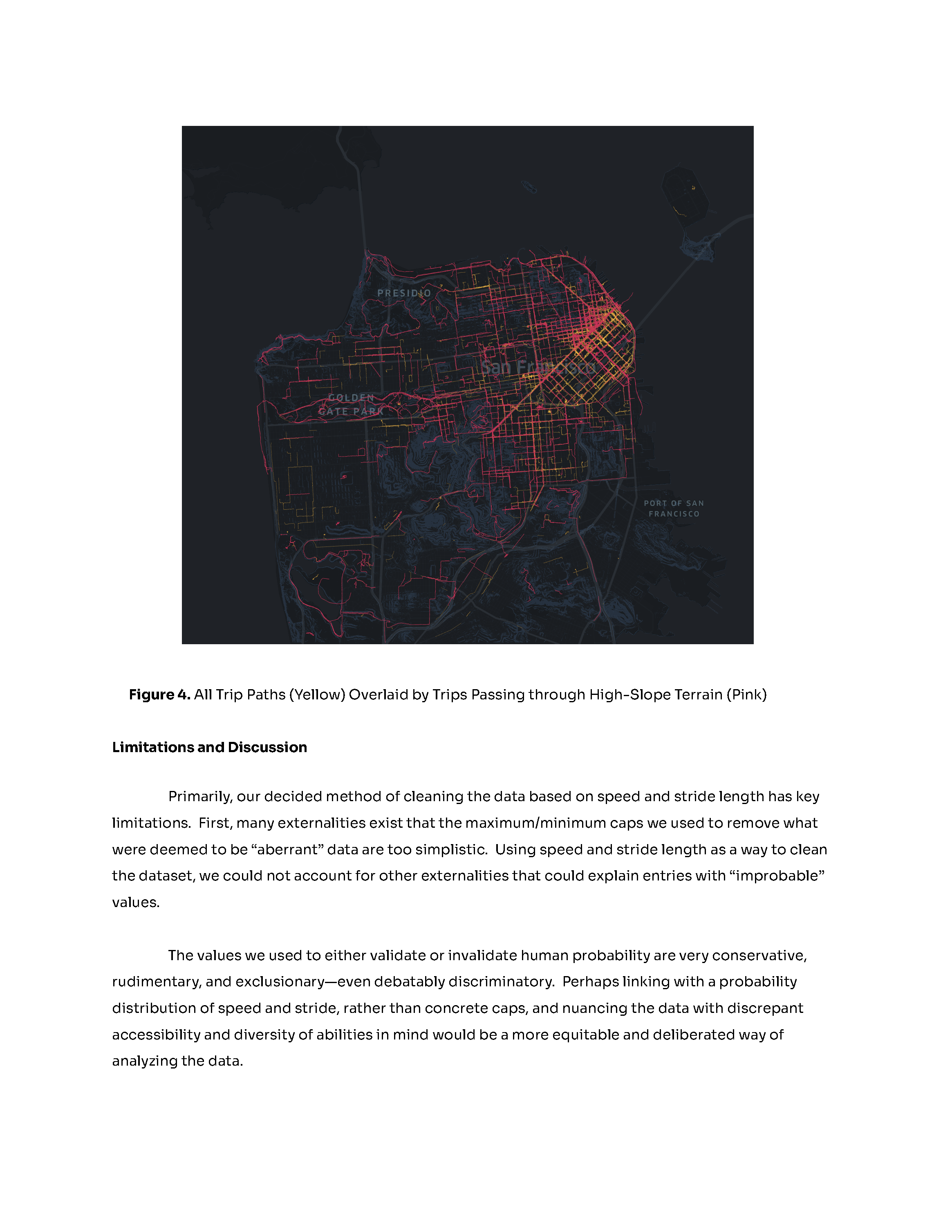
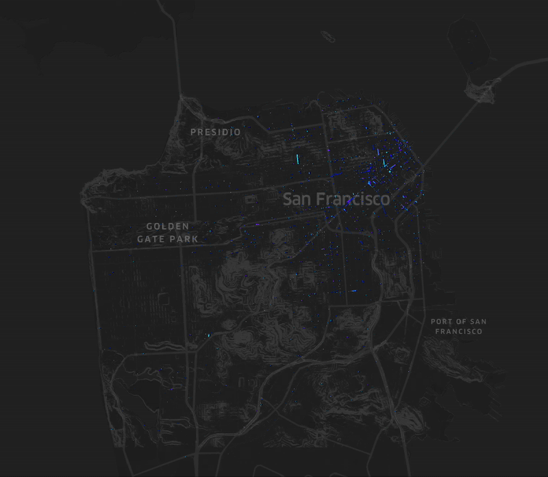
How does San Francisco's terrain — specifically areas with slopes of 20% or greater — correlate with pedestrian behavior? Spatial analysis of AOMA trip data reveals that topography shapes mobility patterns in ways transit maps don't capture.
Scroll
01
Research Question
Method
This research investigates how San Francisco's topography — particularly areas with incline slopes of 20% or greater — correlates with pedestrian trip patterns documented in the AOMA (Activity-Oriented Mobile Application) dataset.
The study examines whether terrain significantly influences user mobility behavior beyond what transit access alone predicts, using Kepler.gl for spatial visualization and Python for data processing.
02
Data Cleaning
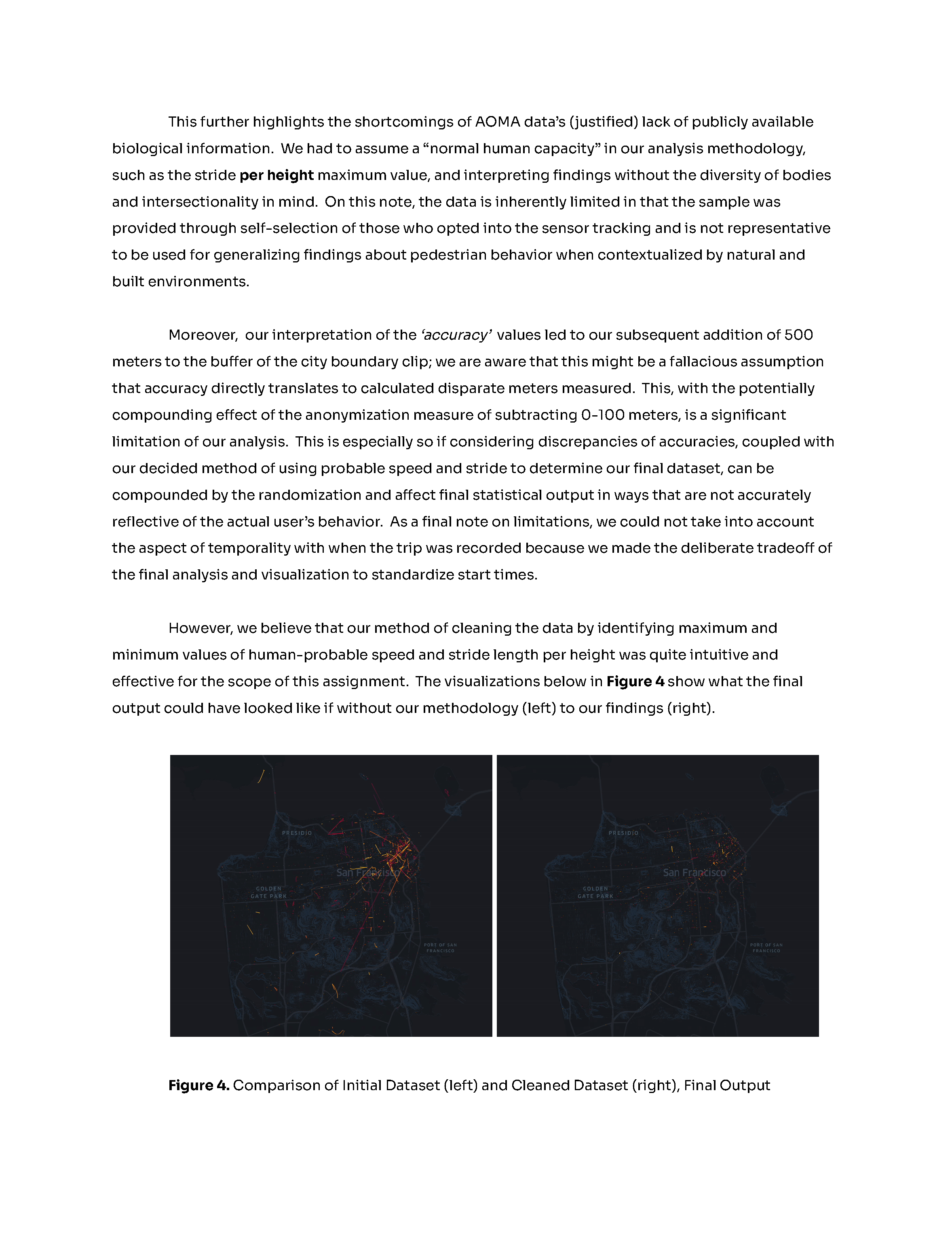
Before and after processing the AOMA trip dataset
03