Projects.
Machine learning, mapping, and network analysis, put to work on cities.
Did LA's Mansion Tax Freeze the High-End Market?
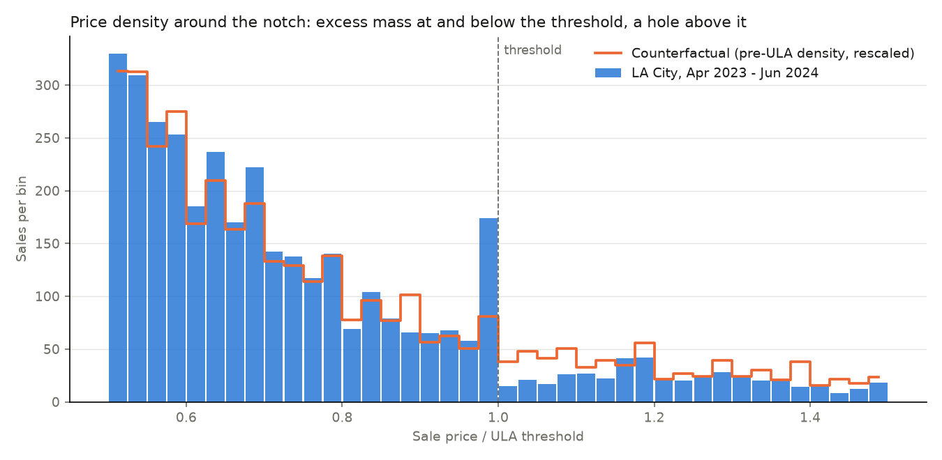
Did LA's mansion tax freeze the high-end market? A pre-registered analysis on public data.
Projecting Much?
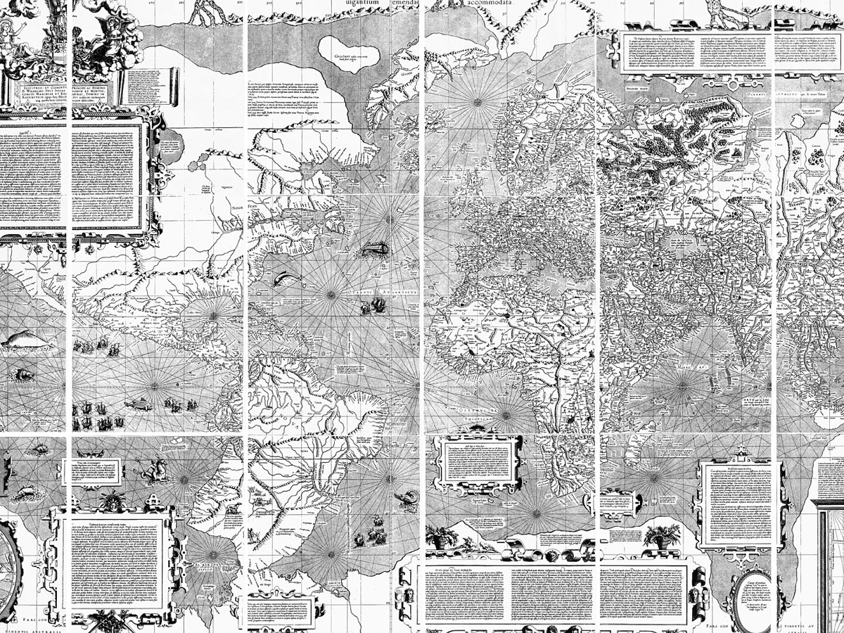
Every map is a choice wearing the costume of a fact. A tool that recenters the world on any point you click - plus 27 live projections and the survey marks that anchor the geoid.
Computer Vision for Ethnographic Research
Can a machine read a storefront? Teaching computers to spot neighborhood change in the signs themselves.
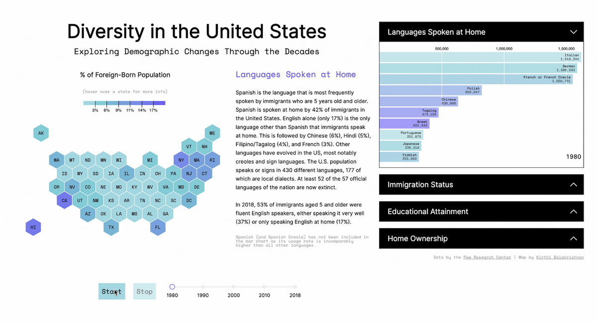
Diversity in America
How diverse is your state? Four decades of immigration data on an interactive hex map.
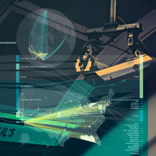
Street-Level Surveillance
Where US police have deployed cameras, facial recognition, and license plate readers - and the handful of vendors behind all of it.
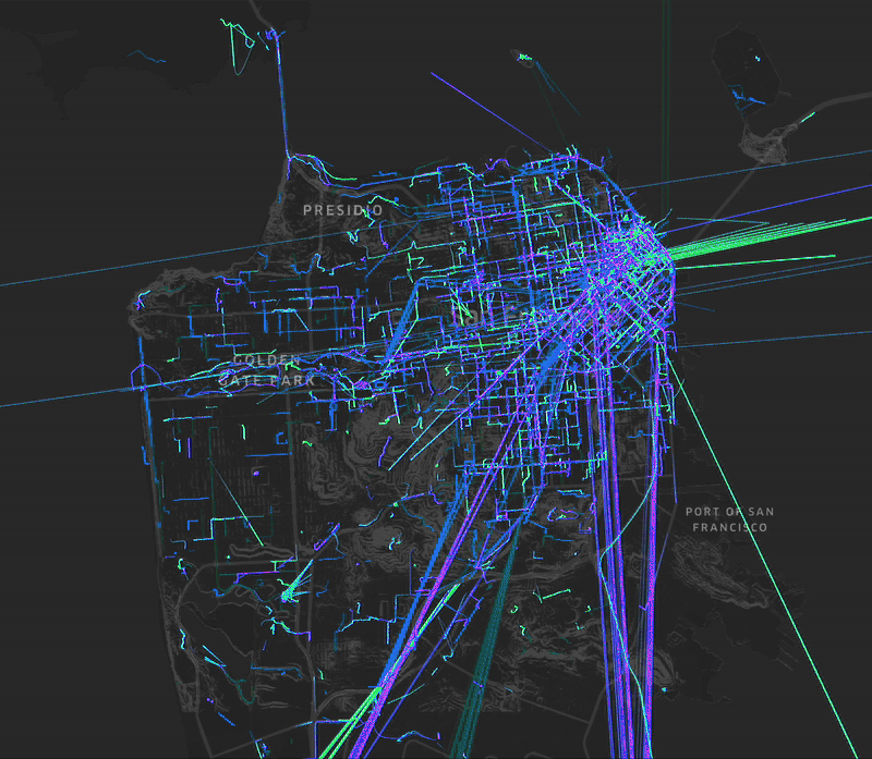
Pedestrian Activity & SF Hills
Do San Francisco's steep blocks stop people from walking? We expected walls. The data pushed back - a third of recorded trips cross 'significant' slopes.
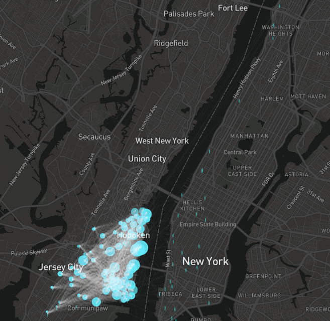
CitiBike Network Analysis
Does ridership shift between seasons? Mapped 204K Citi Bike trips across Jersey City and Hoboken as a directed graph.
Urban Mobility Index
Can you predict a walkability score for any neighborhood from street and transit data alone? Only for cities the model has already seen.
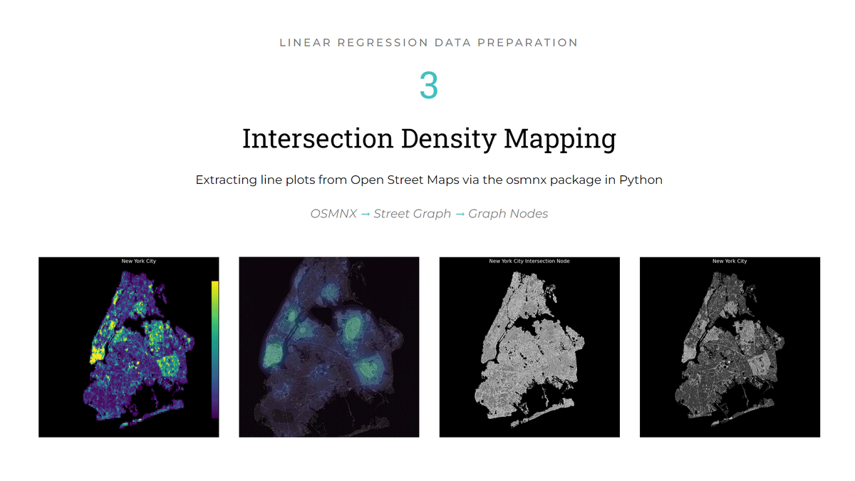
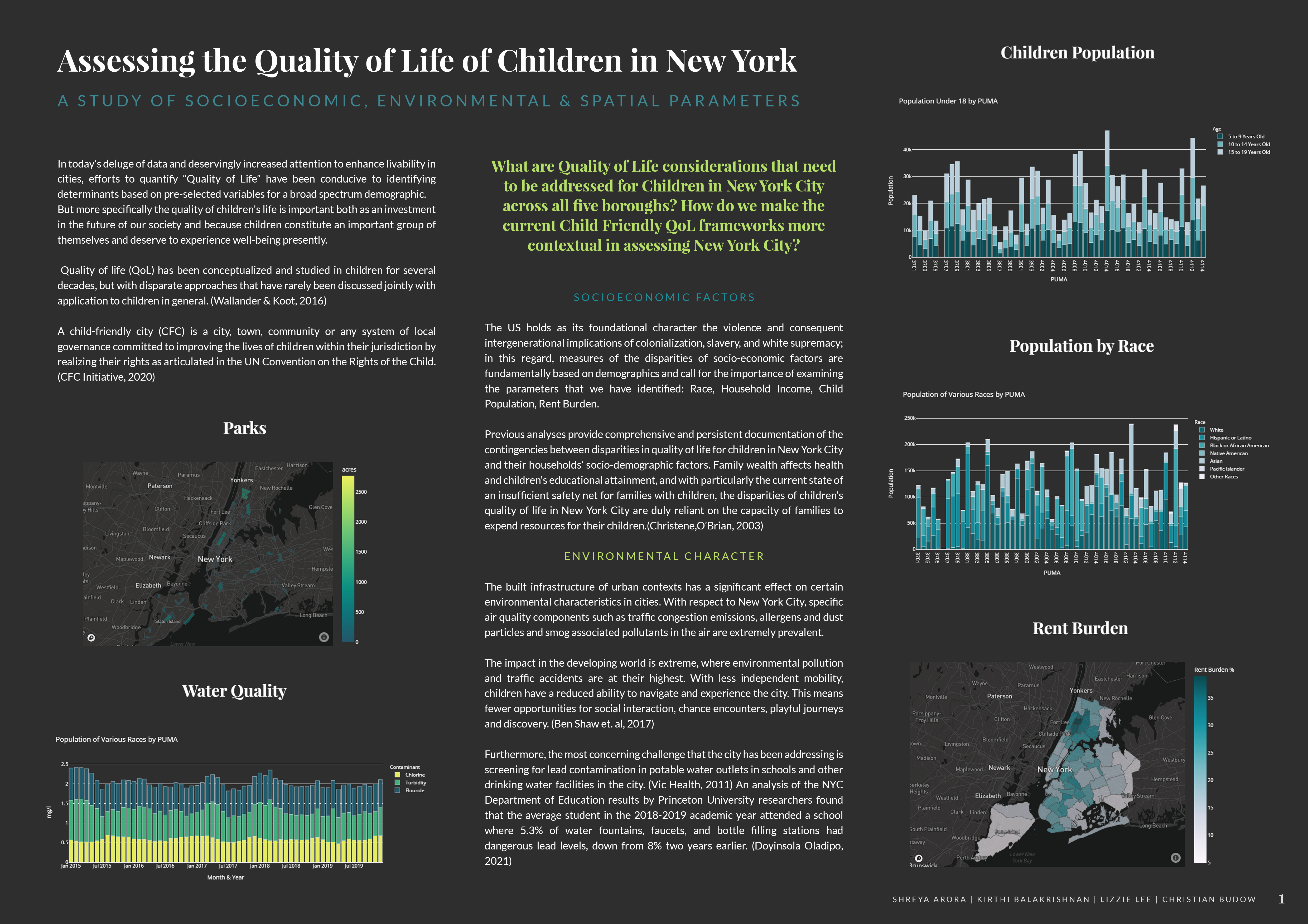
Quality of Life of NYC Children
Most quality-of-life indices were built for adults. Built one for kids across all 55 NYC districts.
Got a Ride? Chicago Rideshare Equity
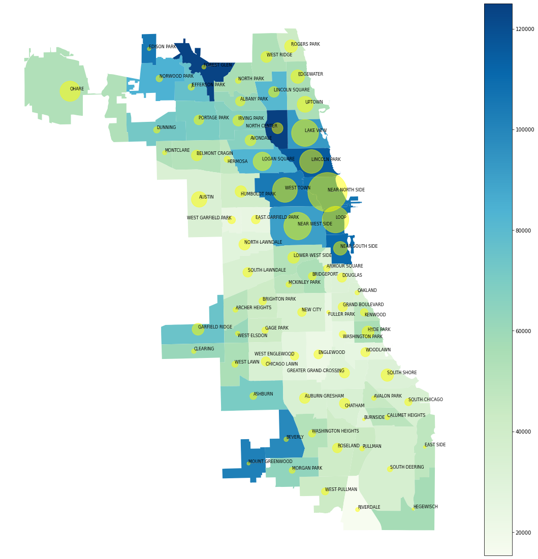
Do Uber and Lyft pickups cluster in white, wealthy Chicago neighborhoods? Against 42M trips, no - they cluster where the trips are.